
Balatonboglári Wine district
History | Natural Geography
Vineyards | Origin Protection
History
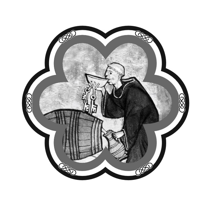
The history of the Balatonboglár wine district dates back to Roman times, while documents from the 10th century mention that good grapes and wine are produced in Somogy County, making it one of the oldest Hungarian wine regions. We also know, for example, that the Benedictine monastery of Szent Egyed, founded by King László in the 11th century, was the largest and most elegant establishment of its time, and that the monks (most of whom were Flemish from Burgundy and Lorraine) who came from Saint Gilles in France were mainly engaged in viticulture. At the beginning of the 13th century, the abbey was also involved in viticulture, with surviving sources mentioning wines from the Abbey of Szent Egyed already being stored in cellars at that time. The abbey’s own vineyards stretched across Nyest-hegy (later renamed Közép-Nyest). Inspired by the church’s example, secular lords also sought to acquire vineyards in Somogy County. The high level of viticulture at that time is evidenced by the country’s first county coat of arms, which was granted to Somogy by King Vladislaus II on 6 January 1498.
Wine production declined during the Turkish occupation (16th-17th centuries), but began to recover in the early 1700s. According to the censuses of 1715 and 1720, the county’s vineyards had begun to grow, and the classification demonstrates that vineyard productivity was very favourable. This period coincides with the arrival of German settlers, who also came to Somogy, albeit not in large numbers. The old vineyards were restored, and the rows of wine cellars that can still be seen today began to be built at this time. The planting of vineyards led to the creation of local and county regulations that determined viticultural life. The laws passed by Empress Maria Theresa in 1767 regulated serf services and the right to measure wine.
In the early 1800s, Baglas Hill and the areas around Kéthely and Szőlősgyörök were considered the best parts of the county. The most important changes were brought about by the emancipation of serfs in 1848 and the abolition of vineyard tithes in 1868. The latter coincided with the Austro-Hungarian Compromise of 1867, after which capital flowed into the economy and opportunities arose for the modern mechanisation of vineyards. The abolition of customs barriers and the development of the railway network also contributed to the boom in the wine trade.
This boom was interrupted by the appearance of phylloxera. The destruction was less severe than in other counties due to the loose soil, and new grape varieties began to spread rapidly at the same time. Count Imre Széchenyi earned lasting merit in the fight against grapevine aphids. As government commissioner for planting in the Balaton region, he oversaw the establishment of extensive sandy vineyards.
Large estates were abolished after World War II, thus viticulture in Somogy County largely declined and disappeared. The exception was the Balatonboglár State Farm, which initially specialised in grapevine production but by the 1980s had become the country’s best-known wine producer. BB was for a long time the only drinkable wine among the dreaded Bikavér and Aszú wines. It trained dozens of experts and continues to influence the wine district to this day. Several of the family estates that emerged after the fall of communism have also gained national recognition for their high-quality wines.
Natural Geography
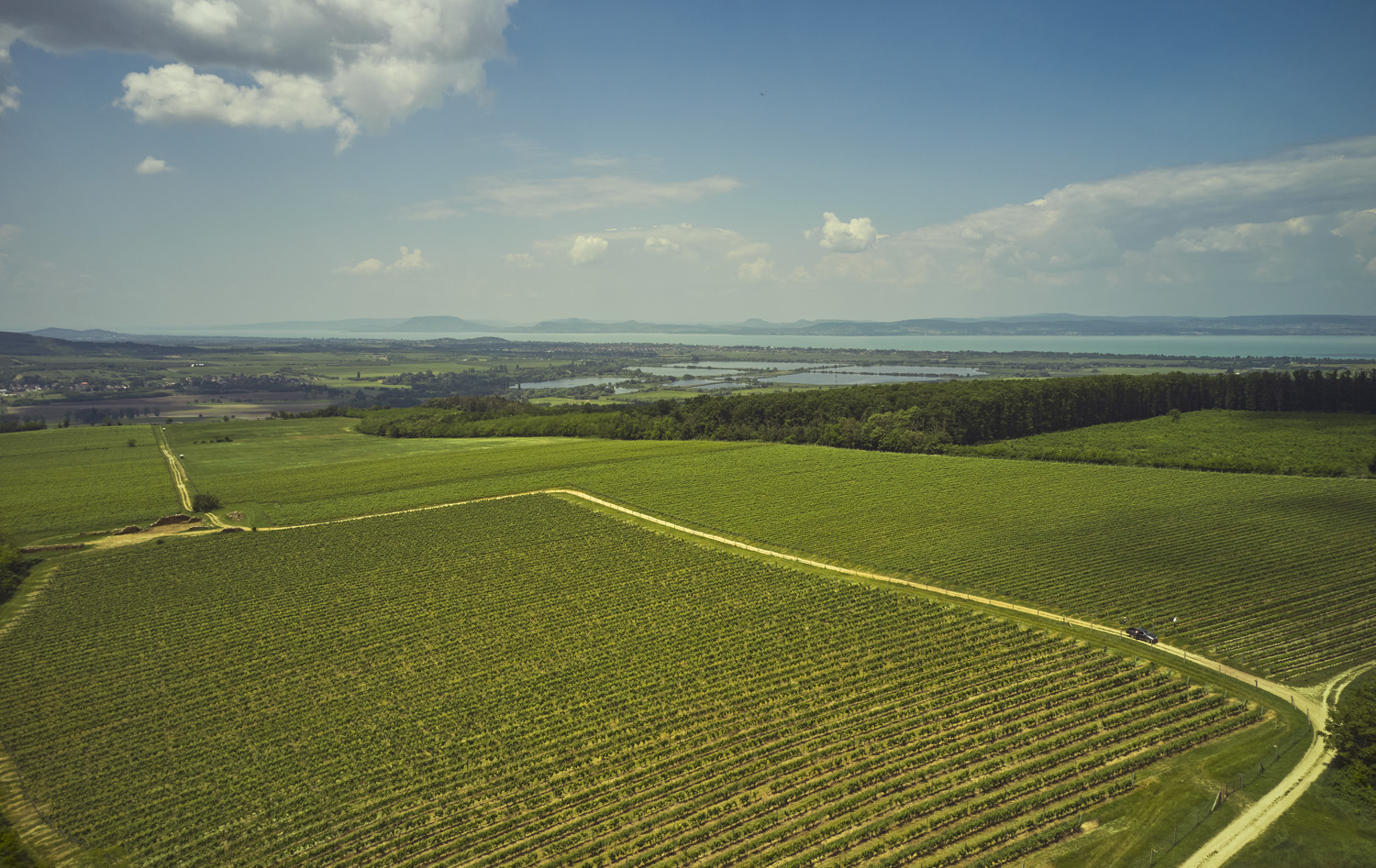
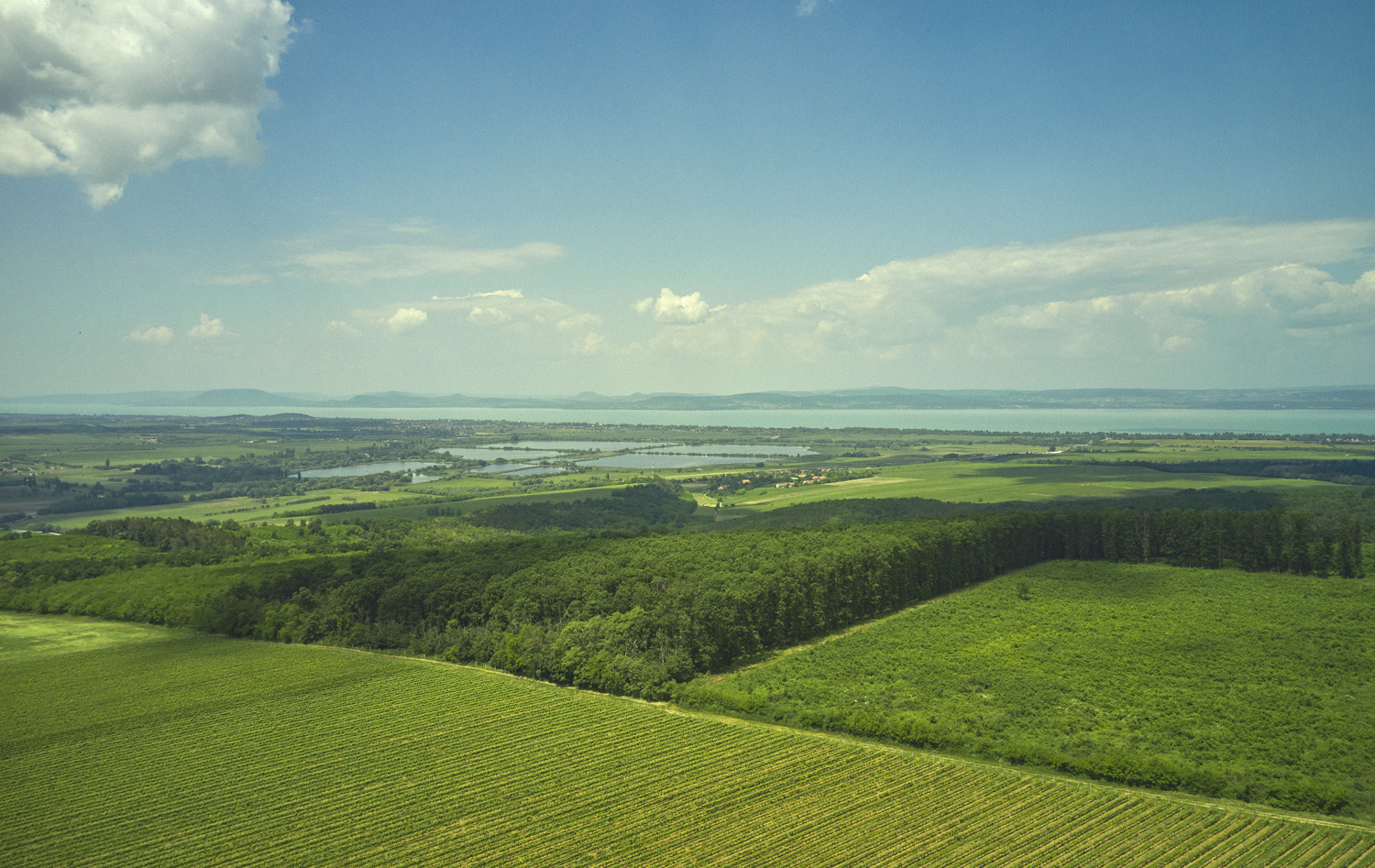
The Balatonboglár wine district is located in Somogy County, mainly on the edges of towns near the southern shore of Lake Balaton, and partly on the vineyard hills of towns east of Kaposvár. The area mostly belongs to Outer Somogy, except for the Marcali Ridge area, the northern part of Zselic and Csurgó. In the western part of Outer Somogy, valleys and hills (Balatonföldvárihát, Karádi Ridge, Boglári Ridge) alternate, with heights ranging from 180 to 300 metres, becoming higher towards the north. They descend steeply to Lake Balaton with a width of 6-8 km. Their shapes are varied, thanks to landslides and river water erosion. The eastern half of the territory is a series of asymmetrical hills. Their northern slopes are steep, their southern ones gently sloping. The hills in the north exceed 300 metres in height (Almantető, 316 metres). The southern part of Outer Somogy is interspersed with flat valleys and gentle hills; this is also true of the loess surface along the Kapos River. The entire area is settled on marine sediments and Pannonian sediment, covered by a layer of loess (10-30 metres) originating during the Ice Age, which becomes thicker from west to east.
A series of river debris cones deposited during the Pleistocene rise steeply from their surroundings between Balatonberény and Balatonkeresztúr, stretching southward for about 35 km, while gradually decreasing in height and width. The highest point is Baglyas Hill (254 metres) between Marcali and Kéthely. A sand and clay layer only emerges in places from under the thick layer of loess that has accumulated on top of it. The northern side of Zselic (geographical region) is also covered with a thick layer of loess. It is a hilly area divided by structural lines, separated from Outer Somogy by the Upper Kapos Valley to the north.
The wine district’s climate is moderately warm and continental, with the annual number of sunshine hours varying between 1950 and 2050 hours (increasing in the northeast) – higher than the county average in the Balaton region. The average annual temperature is 10-10.5°C, while annual precipitation is between 600 and 800 mm, decreasing towards the northeast. Higher values of around 800 mm are due to humid air masses arriving from the sea. The distribution is influenced by the Atlantic-Mediterranean climate, resulting in a secondary autumn precipitation maximum. The areas making up the wine district mainly feature brown forest soils with clay deposits on loess.
Vineyards
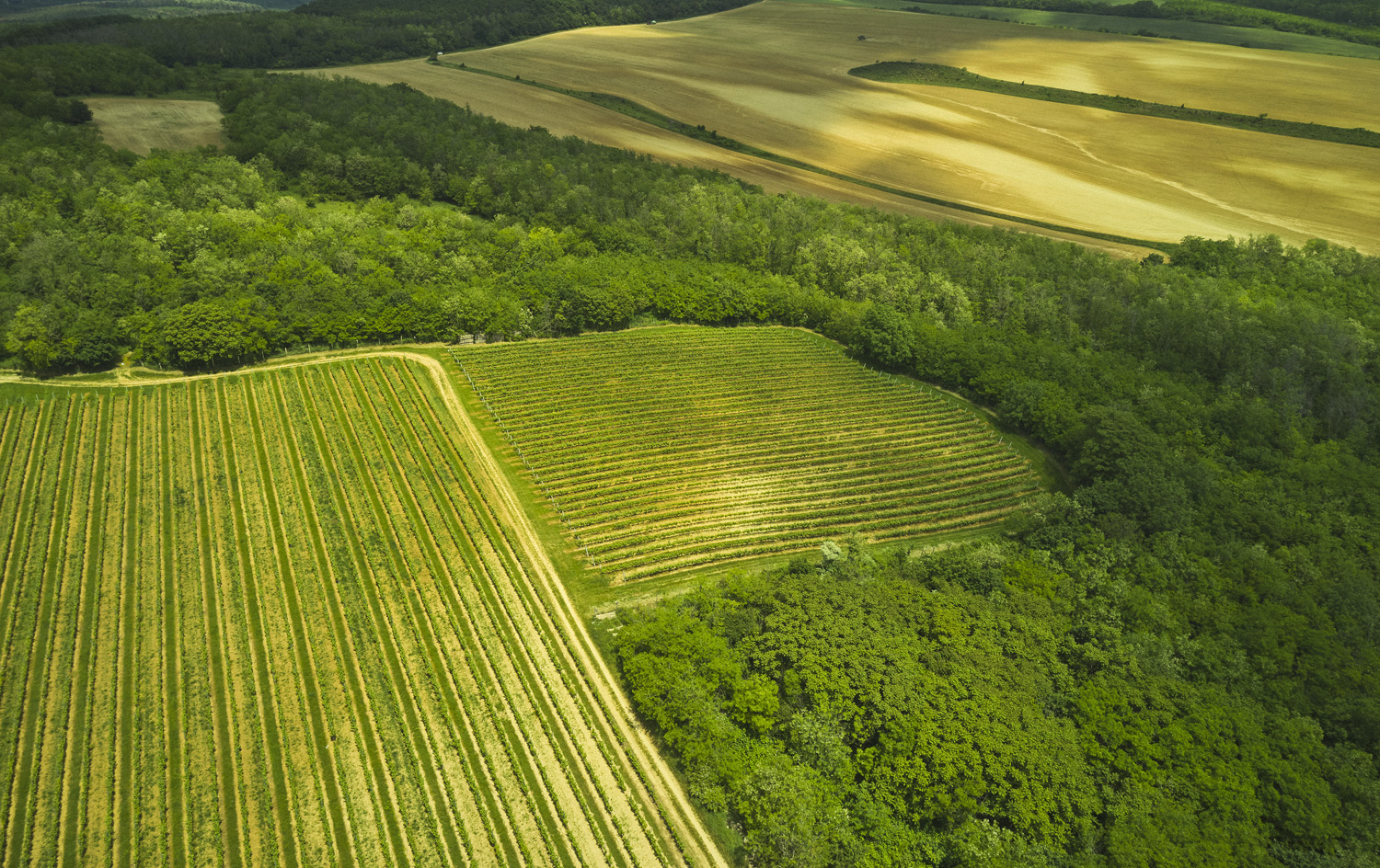
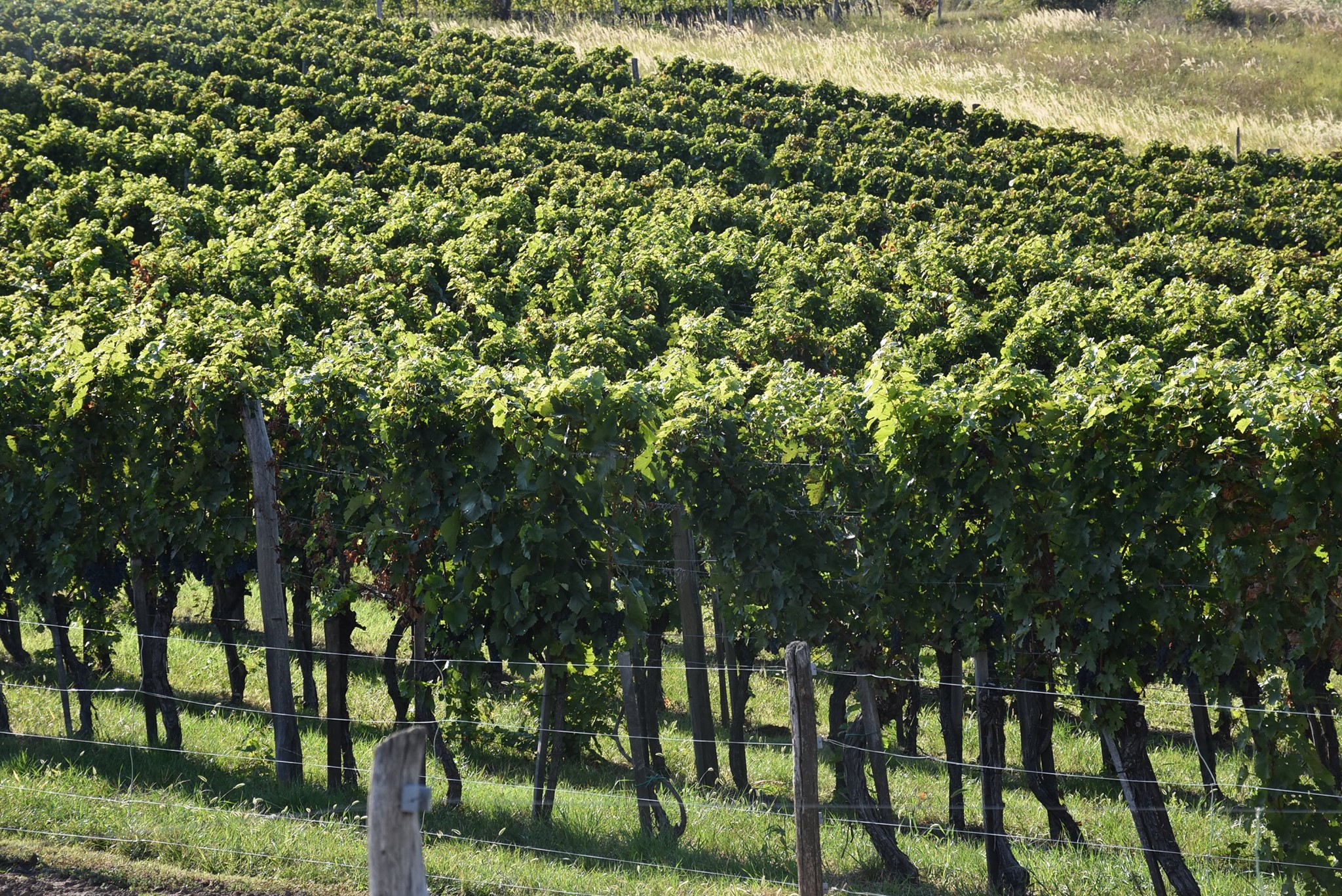
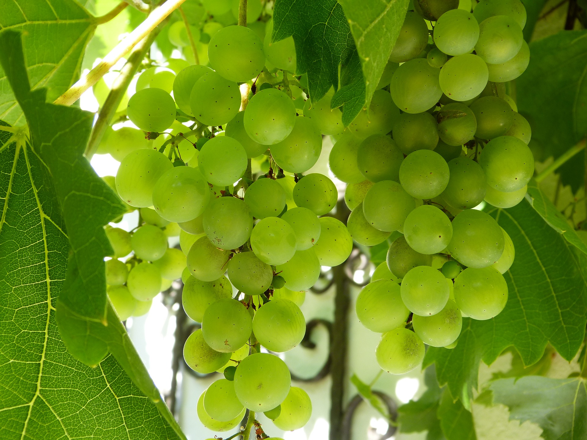
Nowadays, the parts of the wine district along the Kapos River and Marcali Ridge are virtually unknown to consumers, while the area in the northern part of Outer Somogy, the area enclosed by Balatonlelle-Balatonboglár-Szőlőskislak-Szőlősgyörök-Gyugy-Látrány-Rádpuszta-Balatonlelle to be precise, is one of the best known in the country. This centre is lively and bustling, producing a wide range of excellent still and sparkling wines. The whole country is gradually becoming familiar with the names Landord and János-hegy. The most important vineyard names have of course also been protected in the product specification, along with a few lesser-known ones.
Banyászó is a historic vineyard, one of the best known in village of Szőlősgyörök. It faces west and is located “below” Landord vineyard, although it is separated from it by a wide strip of forest and a sunflower field, both of which slope down towards Landord. It stretches between 130 and 187 metres above sea level, extending lengthwise in a north-south direction. It is mainly bordered on the north by forest and the Lakitető vineyard, while to the west it is bordered by a lake on the edge of Szőlősgyörök. The southern end is marked by the tiny Rekesz vineyard. It is an incredibly fragmented area with numerous owners and tiny parcels. The soil-forming rock is also loess.
Landord is an iconic vineyard located east of the northern edge of Szőlősgyörök, behind the forest strip following Banyászó, on the western side of Sinai Hill (224 metres), facing west, at 150-175 metres above sea level. The north-south elongated, westward sloping vineyard boasts a 12% gradient and lime-rich clayey loam soil. Its terrain rises slightly from north to south, then breaks slightly halfway and begins to slope downward, fluctuating between 160 and 170 metres in this direction. There have been independent bottlings of Chardonnay and Pinot Noir from this vineyard. The product specification defines a much larger area as Landord than the vineyard described above, already known to many. The boundary of this area extends beyond the northern forest belt to near Lake Landord, from where it curves eastward like a crescent from a height of 135 metres to a height of 205 metres, thus bordering János-hegy, Vitéz and Rokkant vineyards to the north. The Sinai-hegy vineyard belongs to the hill of the same name. It is located above the most famous part of Landord, separated from it only by a strip of forest and surrounded by forest on all other sides. Its shape resembles a letter T cut in half, with the stem running north-south. The Landord fault line can also be observed here, meaning that the area rises slightly from north to south, then breaks slightly halfway and begins to slope downwards. It consists of lime-rich loamy soil, with its lowest point at 174 metres and its highest at 220 metres.
János-hegy lies 170-255 metres above sea level. It slopes westward, with its upper boundary formed by a forest that extends deep into the vineyard in several places. The bottom of the vineyard is separated from the Vitéz vineyard by a narrow strip of forest in the east, while it is bordered in the north by Bánom-hegy and in the south partly by the Landord vineyard and partly by forest. It is a heterogeneous area, with lots of scattered stones and almost no topsoil on the steep upper parts. The subsoil is sandstone covered with extremely lime-rich loess, but this is not uniform across the area: in some places the loess is porous, while in others the loess dolls have almost petrified. Some winemakers believe this is the most exciting and promising area in the wine district.
Gesztenyés, village of Gyugy’s renowned vineyard, is located on a hill surrounded by forest. It has a thick layer of clayey brown forest soil and slopes to the south and west. It is located southeast of Gyugy, at an altitude of 225-195 metres, and boasts a cool climate. The Laki-tető, a relatively small vineyard with loess soil, is located north of the Banyászó Ridge, forming the ridge’s northern, cone-shaped end. Thus, it is bordered by village of Szőlőskislak in the north, a strip of forest separates it from Banyászó in the south, and there are sloping forest strips in both the east and west. It stretches out at an altitude of 130-150 metres.
Vitéz is a relatively flat area located at an altitude of 158-172 metres below János-hegy. An area with high loess content but sandier soil, it is considered less valuable than János-hegy, which lies above it. It is bordered by the Matacs vineyard to the north, Landord to the south and a clearly recognisable vineyard road to the west. It faces southwest and is clearly separated from Bánom-hegy by a strip of forest. It mainly boasts soil with a high loess content that is more compact than that of Vitéz.
Csirip-tető, one of the great discoveries of the past decade, is a relatively large vineyard. It is 420-440 metres wide and stretches for approximately 1.2 km on the northern edge of the village of Visz, east of the main road number 67 connecting town of Balatonlelle and Kaposvár. Almost the entire vineyard slopes gently toward the southwest, from the highest point at 293 metres to the lowest at 232 metres. Only a small area stretches across the ridge separating Visz and Rádpuszta from Telek and Nagycsepely, where the Csirip-tető slope descends steeply to the east. The area is bordered by forests to the north and west, and the soil’s high lime content is beneficial for white whites.
Kokas-hegy is located closest to town of Balatonboglár. Its northern edge is Török Bálint Street, while the M7 motorway also cuts the vineyard in half. There are mainly small gardens, back gardens, ploughed fields and a few small vineyards on the northern side, while south of the motorway, there is a larger, contiguous vineyard behind the BB building. The vineyard (excluding the section cut off by the motorway) is an irregular rectangle 1.6 km long and 1.2 km wide, with a very slight northern slope and a slightly steeper western slope, at an altitude of 115-150 metres. It is a windy, sunny area with nutrient-rich soil. Wineries mainly produce single-vineyard red wines from here, but a promising, oak-aged Sauvignon Blanc has also recently been released.
Origin protection
Like many others, the wine district did not set particularly strict production rules in its 2012 product specification, but did, unsurprisingly, include the production of sparkling and semi-sparkling wines in its regulations. The concept of vineyards also immediately emerged, and a total of 67 vineyards were demarcated.


Events
Domestic and international wine programs